
Sentry
Custom integrations
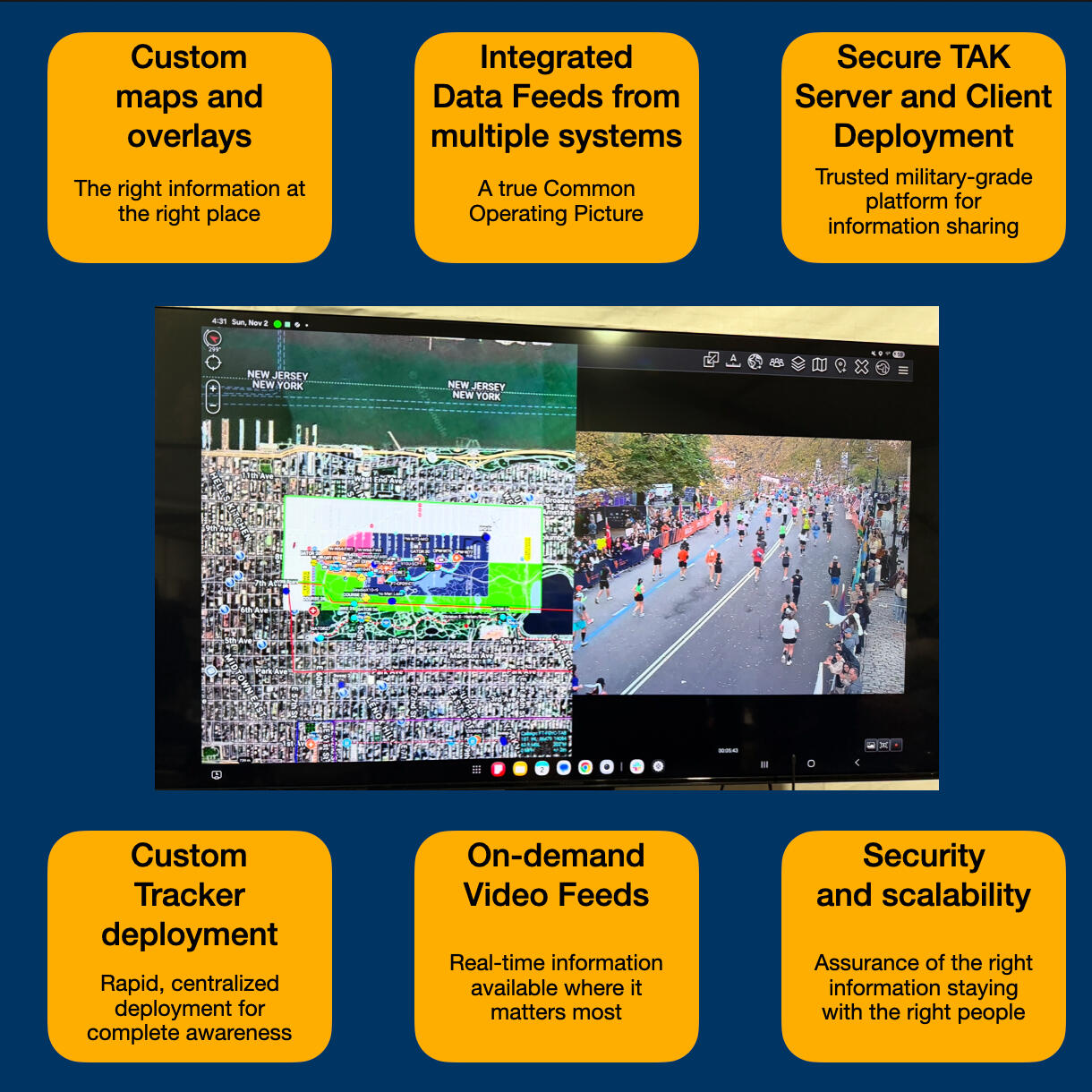
Most vendors ask agencies to replace what they have. Sentry integrations pull existing systems into one picture so vehicle tracking, cameras, drones, dispatch, and partner data can live together.
How it helps
A common map without forcing a common tool — dispatch, cameras, UAS, CUAS, and partner systems.
A common map does not have to mean a common tool. Pull the right information to the right people across dispatch, cameras, UAS, CUAS, partner systems, and custom alerts.
- Camera networks, public feeds, and CCTV on the same map as personnel
- UAS and CUAS data alongside ground teams and trackers
- Dispatch and calls for service, including geo-referenced 911 where available
- Partner agency and third-party data without forcing a rip-and-replace
- Custom alerts and bridges when an event needs something the stock stack does not cover
Sentry screenshots
Custom integrations in the platform
Placeholder frames for now — swap in application screenshots when they are ready.
Common operating picture
Maps, video, and tracks in a single view.
Camera overlay
Public and CCTV feeds without leaving the map.
Dispatch bridge
Calls for service placed where responders can act.
Partner data
Bring Esri, SARTopo, and other feeds into TAK.
More from Sentry
Sentry Trackers
Centrally managed standalone LTE trackers for search teams, K9s, vehicles, equipment, and event assets.
Learn more →Sentry AI
Custom analysis on video, sensors, geofences, and movement — with alerts to the people closest to the action.
Learn more →TAK server deployment
Hosted TAK infrastructure with users, groups, and data feeds managed from one interface.
Learn more →Stop guessing. Start knowing.
Tell us about your event, incident, or TAK rollout. We’ll help you assess where you are and what to deploy next.